The spots
A pin that suits a hatchback is no use to a seven-metre motorhome.
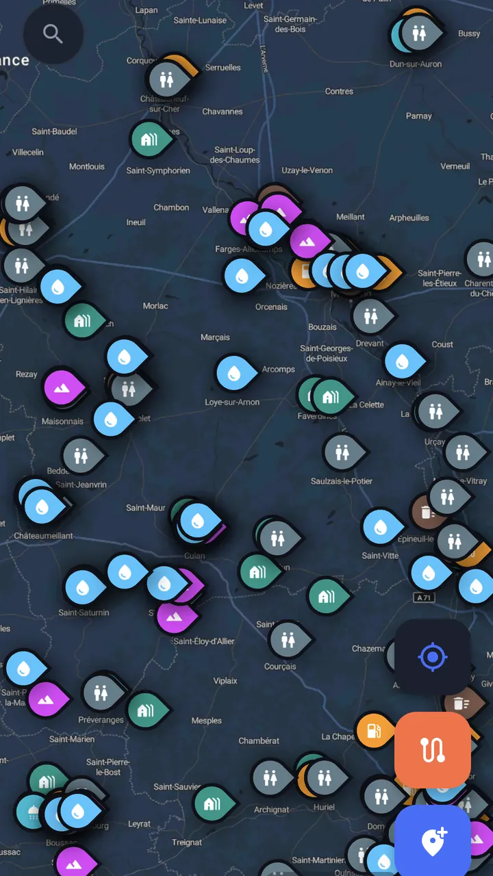
Filter the map by what you drive and what you need tonight, and what is left is the shortlist. Open a spot for the photos, the rating and the reviews from people who actually parked there — how level it was, whether the barrier let them in, whether anyone minded.
The map arrives full: 1.9 million places come from OpenStreetMap, and half a million height restrictions with them. The reviews are the part that is still thin, and the part you can change — add the place you found last summer and someone finds it next summer.
The same places are a free map on this site, country by country — campsites, drinking water, dump stations and viewpoints, with what each one offers. Where to stop, country by country.
The tracker
Drive. It writes the trip down.
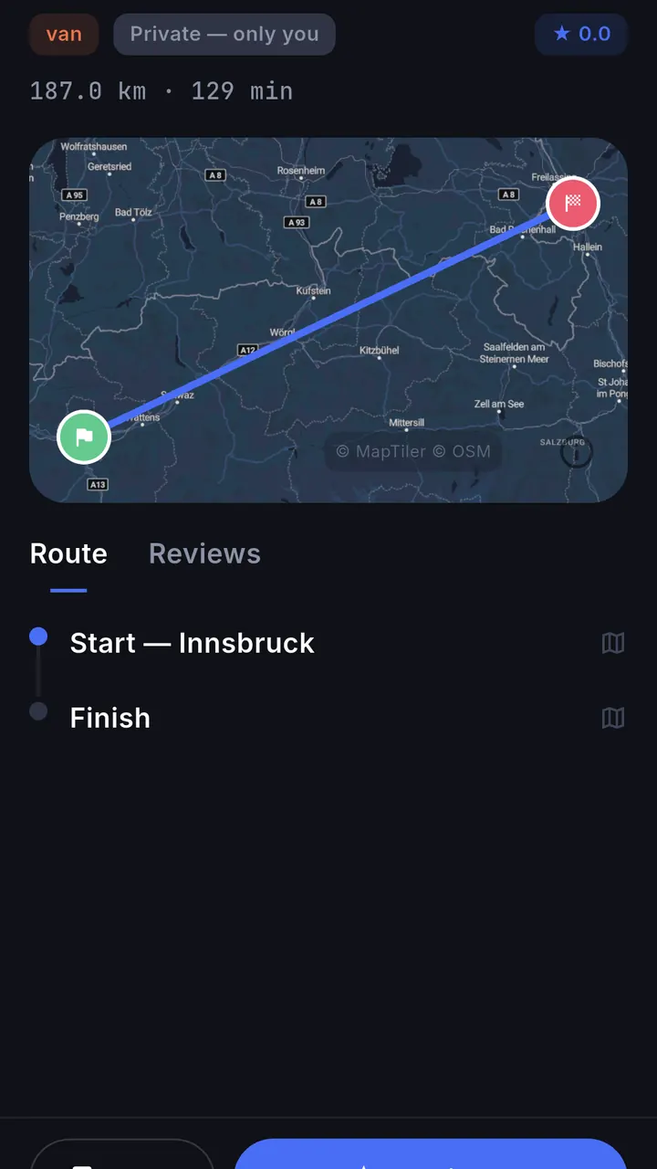
Start the tracker before you pull out and ilovay keeps drawing the route with the screen off and the phone in your pocket. String your saved spots into a trip and follow it with spoken turn-by-turn directions that reroute when you leave the line.
Routes are built for what you are driving — car, van, motorhome, motorcycle, bike or on foot. Every finished trip stays private until you publish it, and each one is drawn onto a travel map of everywhere you have been.
Low bridges
Your maps app doesn’t know how tall you are.
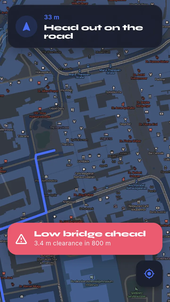
Most of us can quote the van’s fuel economy to one decimal place and have no idea how tall it is. Set your height once, and ilovay watches the road ahead for height-restricted bridges and underpasses — far enough out to take the other turning.
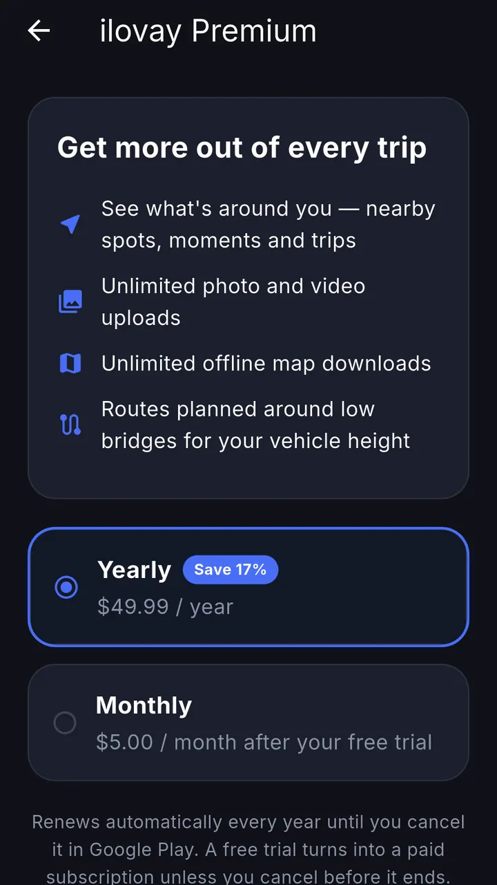
The warnings are free. Premium plans the route around low bridges from the start.
Offline
The map keeps working where the signal stops.
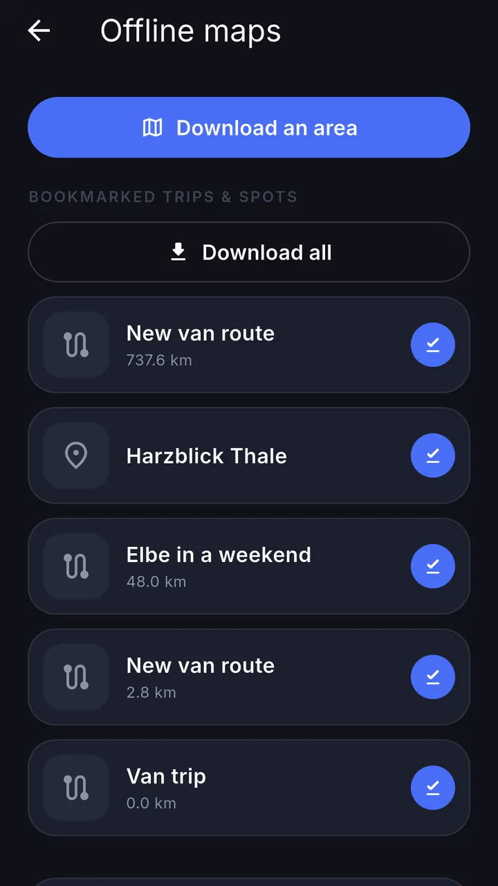
Drag a box around where you are heading while you still have bars. The map, your saved spots and your trips stay readable in the middle of nowhere, which is where most of them are.
Two downloaded areas are free. Premium removes the limit, for the kind of trip where two is not enough.
Premium
Free where it matters.
Free everyone
- Trip recording, with the full track at the end
- The map, its spots, photos and reviews
- Multi-stop routes and turn-by-turn navigation
- Low bridge warnings for your vehicle height
- Communities, trip reports and direct messages
- Two downloaded offline areas
Premium 7-day trial
- Routes planned around low bridges, not just warned about them
- Unlimited offline map areas
- Unlimited photo and video uploads
- Nearby spots, moments and trips around you
Monthly or yearly, whichever you pick. Google Play takes the payment and holds the cancel button — the trial turns into a subscription only if you let it.